Fault lines threaten the world's largest hydroelectric project
The research team from Chengdu University of Technology, the Civil-Military Integration Center of the Geological Survey of China, and the Yalu Zangbo River Natural Resources Observation and Research Station, published the findings in June in the journal Sedimentary Geology and Tethyan Geology.
According to the research team, cracks in the Earth's crust in the eastern Himalayas will greatly affect the durability of the super dam on the river. They called on engineers to increase the stability of the slope and take protective measures to minimize the risk of landslides and collapse of the structure.
According to SCMP, the Paizhen fault has been highly active since the Pleistocene (from 2.58 million years to 11,700 years ago) and can affect the structural stability of hydroelectric dams and many nearby structures such as roads, bridges, tunnels and reservoirs. It cracks the surrounding rocks and changes their mechanical properties, reducing the foundation's load-bearing capacity.
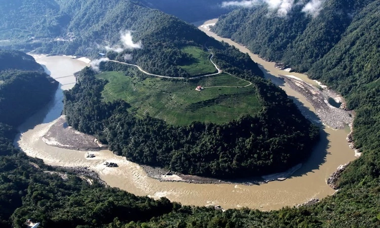
Paizhen is located in the reservoir area of the hydroelectric plant in the lower reaches of the Yalu Tangbo River. Due to the loose structure and weak cohesion of the terrain there, the slopes on both sides of the reservoir area are easily unstable after long periods of immersion as well as being affected by faulting and earthquake activity. The Paizhen Fault is part of a network of tectonic faults in the eastern Himalayas, where the collision between the Indian and Eurasian tectonic plates occurs. According to research results, this fault has been strongly active from the beginning of the Pleistocene until now. The 6.9 magnitude earthquake in Milin, Tibet, in 2017, located at the northern end of the fault, is a testament to its seismic potential. Pai village, located near a construction site on the Himalayan seismic belt, has recorded the strongest and most frequent earthquakes in the region.
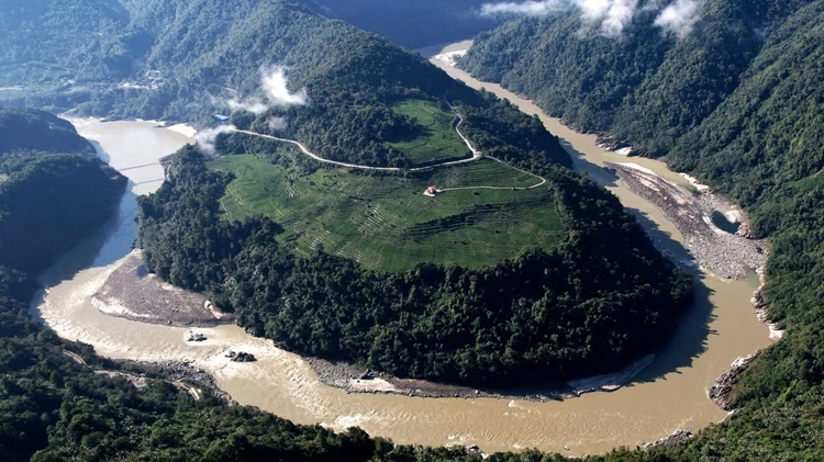
According to The Print, construction of the Medog hydropower project on the Tibetan plateau began last year with an estimated annual capacity of up to 300 million megawatt hours (MWh), three times that of the Three Gorges Dam. Expected to be completed in 2033, the super dam will be located near the "Big Bend" of the Yalu Tangbo River, a giant U-shaped bend in the Tibet Autonomous Region.
The Yalu Tangbo River flows through central and southern Tibet, through the world's deepest canyon with a slope of more than 6,000 m. This is the highest river in China, 2,057 km long with hydroelectric potential only slightly less than that of the Yangtze River. The river is also known as the Brahmaputra River as it flows south through the Indian states of Arunachal Pradesh and Assam, finally entering Bangladesh as the Jamuna River. China's construction project raises concerns about water supplies and environmental impacts downstream in India and Bangladesh.