A new plate of Earth's crust forms beneath the Indian Ocean
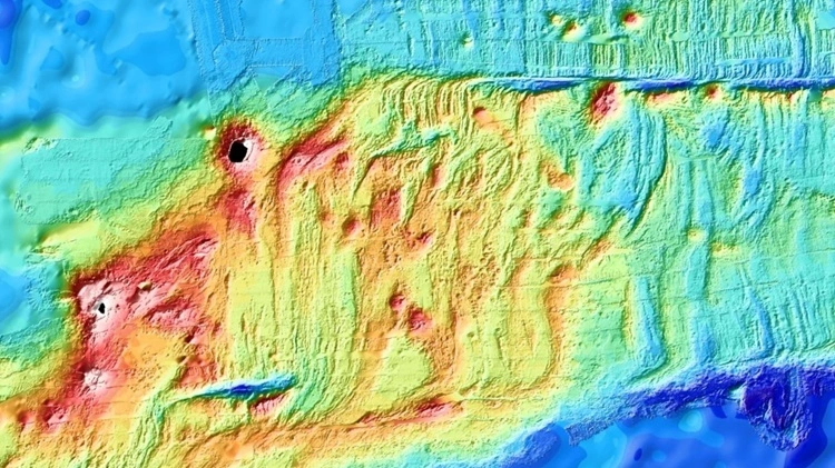
In research published July 8 in the journal Nature, geophysicists for the first time watched the ocean floor separate at an undersea ridge. They used a network of more than 20 measuring stations scattered across a 100 km area of the Indian Ocean to observe the event that released about 160 million cubic meters of lava to the seafloor, and caused two ocean crust plates to separate at least two meters from each other within just a few days.
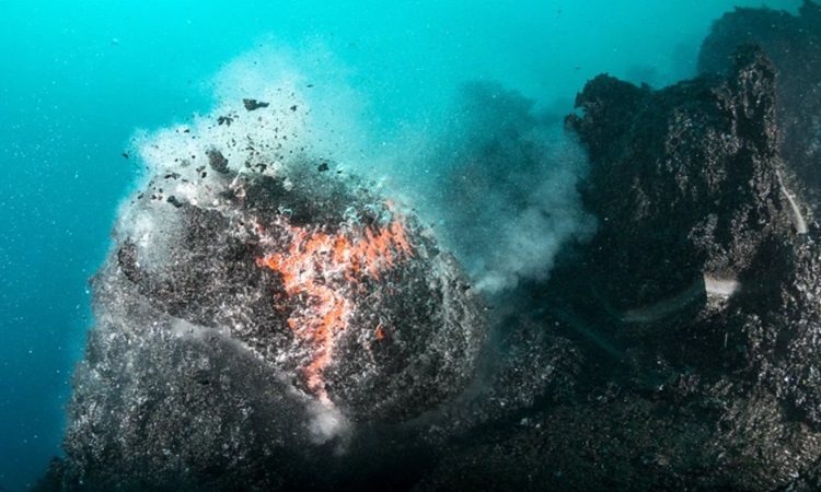
According to EBSCO, the oceanic crust is the thin outermost hard shell of the Earth located beneath the oceans. It is thinner, denser, and younger than the continental crust, composed mainly of basalt. Oceanic crust covers nearly two-thirds of the planet and forms from mid-ocean ridges. When tectonic plate movements pull the existing crust away from the ridge, magma from the Earth's core rises and solidifies, forming a new crust. Researchers have known about this process since the mid-20th century but have not had the opportunity to observe it directly.
Jean-Yves Royer, a marine geophysicist at the French National Center for Scientific Research (CNRS) in Brest, and his colleagues focused on the Southeast Indian Ridge, which cuts across the Indian Ocean floor in an east-west direction, separating the Antarctic Plate from the Australian Plate (including Antarctica and Oceania as well as the surrounding ocean crust). The two plates are moving apart at a rate of about 6 centimeters per year, mainly due to the Australian plate being pulled northward. But some areas of the Australian plate can be immobile for a short time, then experience a large movement accompanied by an earthquake.
According to Science Alert, the research team installed three types of equipment at various locations around the 100 km long ridge between Australia and Antarctica in the Hydroacoustic and Geodetic Observation near Amsterdam Island (OHA-GEODAMS) experiment in late February 2024 to record such an event. In particular, they built an observatory including 5 automatic underwater receivers (microphones that can detect sound waves created by earthquakes) to monitor the entire Saint Paul - Amsterdam volcanic plateau. They also arranged 15 battery-powered landmark stations that can emit or detect sounds under the sea. Every four hours, the stations exchange acoustic signals and measure response times, allowing researchers to measure how the distance between them changes over time.
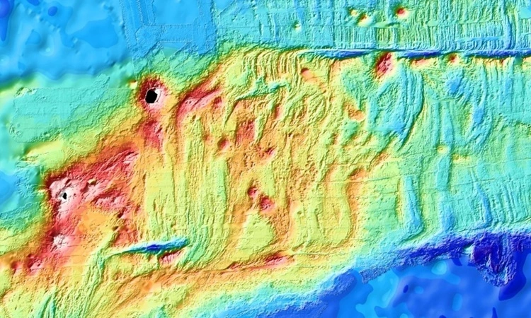
On April 26, 2024, the receiver began to record seismic tremors. Over the next few days, data from the landmark station showed that some stations moved at least two meters apart as the ocean crust separated. A pressure sensor installed by the team also measured large changes in the depth of the ocean floor. An estimated 160 million cubic meters of lava from beneath the crust rose up and spilled onto the sea floor, emptying the magma reservoir accumulated along the ridge area, causing part of the sea floor to sink up to 4.2 meters. Movement of the crust releases pressure built up over 3-6 centuries by stretching as the Australian plate moves north. According to Scientific American, the research results may help explain why faults along mid-ocean ridges produce fewer earthquakes than scientists predicted.