10,000 drones are in use in the Mekong Delta
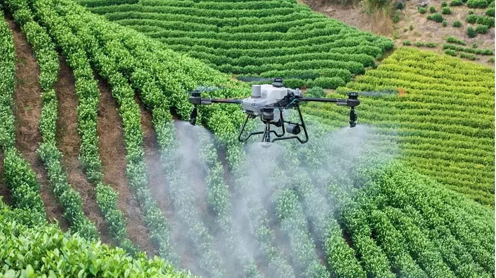
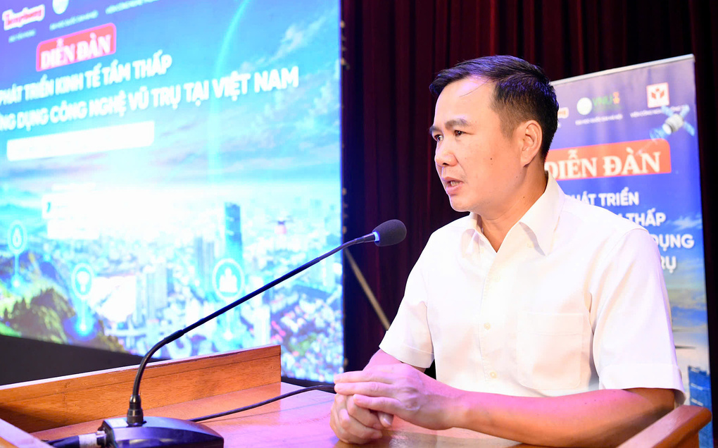
The data was shared by Mr. Pham Dac Bao, Director of VNPT UAV Lab, at the Forum for Low-Altitude Economic Development and Promotion of Space Technology Application in Vietnam, on the morning of October 2. He said that in Can Tho alone, more than 4,000 hectares of rice will be sprayed with unmanned aerial vehicles (UAVs) in 2026.
He also cited many data showing that applying UAVs in farming can help save 45% of seeds, 30% of fertilizers and 20% of irrigation water. Meanwhile, productivity increased by nearly 12%, CO2 emissions decreased by 3-4 tons per hectare in one crop season. Total costs decreased by up to 40%, while farmers' profits increased by about 6 million VND/ha/crop.
Associate Professor, Dr. Bui The Duy, Director of Hanoi National University, said that UAVs are not only widely used in the Mekong Delta, but also in mountainous areas such as Dien Bien and the Central Highlands provinces.
According to the Director of Hanoi National University, many durian gardens in the Central Highlands already own UAVs and send people to train to operate and use the equipment. He assessed that in rural areas, the development of the low-level economy is "faster than that of urban areas". Because there, "UAV is the most suitable and effective technology product".
Using drones helps reduce labor and limits farmers' direct contact with pesticides. However, according to Mr. Pham Dac Bao, spraying and spreading fertilizer are only applications at the "beginning of the chain". Drones can also be used to collect data for precision agriculture.
With rice, instead of fertilizing the entire area or spraying pesticides when pests appear, drones with multi-spectral sensors can record the growth status of each area. The data is then analyzed using big data technology and AI to identify areas lacking water, fertilizer, nutrients or showing signs of pests.
From the treatment map, producers can define areas to add water, fertilizer or pesticides. Drones are then used to perform spraying or spraying in the right area. The approach of "precision agriculture" helps move from spraying, fertilizing and cultivating simultaneously to treating each area. Director of VNPT UAV Lab said that this is "the future of UAV application in agriculture".

According to Deputy Director of Digital Economy and Digital Society Nguyen Van Thuat, Vietnam is in the "early stages of low-level economic development", so it is necessary to soon improve institutions, standards, frequencies and human resource policies for this field.
However, Mr. Thuat said, "we should not wait for the entire law to be completed before implementing it." Instead, there needs to be a controlled testing mechanism for businesses to gradually put models into practice, while promoting technology mastery, strategic product development and human resources.
In its conclusion on September 28, the Politburo identified low-altitude space as the country's "new development space". According to this orientation, by 2045, the low-range space economy will become an important economic and technical sector, one of the new growth drivers and contribute about 1.5% of national GDP.
Trong Dat