Each piece of land will have an 'electronic red book' associated with an identification code
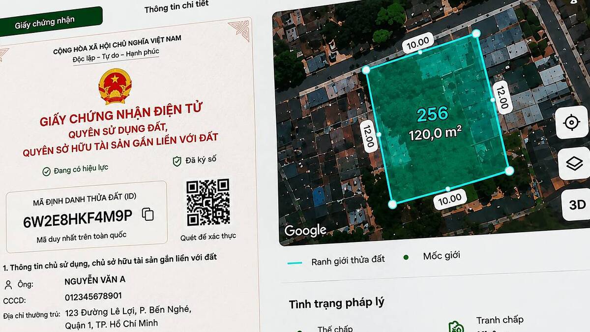
Mr. Dinh Hong Phong, land database expert, Department of Land Management, Ministry of Agriculture and Environment, said that management agencies are switching from identifying land plots based on administrative information to using identification codes.
Sharing at a workshop on location data management on August 10, he said that in the past, to identify a plot of land, information such as commune, ward, province, city, map and plot number was needed. When administrative boundaries change, such as merging communes or wards, the land plot address is also affected.
According to the new plan, each plot of land will have a unique code, similar to a citizen's personal identification code. This code does not depend on the boundaries of wards, communes, provinces or cities and is encoded directly from the location, longitude and latitude coordinates of the land plot.
From the end of 2025, the management agency will begin building a national database of land plots. It is required that 100% of land plots when included in the database must have an identification code. To date, about 69.7 million plots of land have been included in the database and given identification codes.
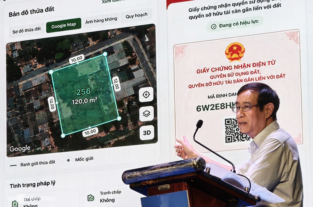
Sharing about the application, according to Mr. Phong, the identification code serves to create digital cadastral records for each plot of land, helping people look up and authenticate information about the owner and legal status on the digital platform. The identifier also helps deploy electronic land use rights certificates, also known as "red books".
There are still cases of fake "red books" or a certificate being pledged or mortgaged many times. These shortcomings will be overcome when managing land with data.
"Through the land parcel identification code, all changes in land information will be updated in the database, helping to prevent falsification of records, allowing comparison and authentication with the central land database," experts from the Ministry of Agriculture and Environment said.
In 2026, the management agency will complete the construction of a database for all land plots for which information and data have been collected. By the end of 2027, complete surveying, mapping, cadastral records and cover the nationwide land database. The land management agency is also coordinating with the identification agency to integrate land information with VNeID.
Mr. Nguyen Hong Son, Deputy Secretary General of the National Data Association, said that a location from a data perspective is not just a point or area on the Earth's surface, but can be associated with people, plots of land, businesses or buildings.
When standardized, identified and connected, location data can become the connection point for many activities in the digital economy, from logistics to connecting population data, land and public services. "Real location data will not simply be a type of data but also an infrastructure layer of the digital economy," Mr. Son said.

According to Major General Nguyen Ngoc Cuong, Director of the National Data Center, Ministry of Public Security, it is necessary to recognize location data as a strategic data infrastructure, with a similar role to population data, business data and land data or base map data.
He said that location and spatial data are the foundation, not only serving to determine geographical location, but also a connection point between people, organizations, assets, works, businesses and socio-economic activities.
The standardized location system will create a data sharing platform between state agencies, promote e-commerce, logistics, urban planning, land management, construction, emergency response and public service provision, and develop data-based artificial intelligence applications.
Trong Dat